
Land Use Modelling
Land Use Modelling is the process of modelling the transformation of Land Use and Land Cover in time.
Based on the GeoDMS, two frameworks are developed to support land use modelling:

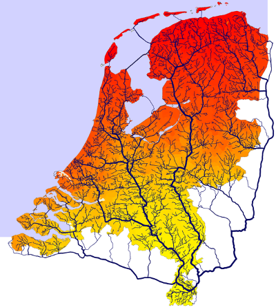
The Land Use Scanner (in Dutch: Ruimtescanner) is a framework for Land Use change modelling. It is used for various spatial planning projects in the Netherlands, mainly by the PBL.
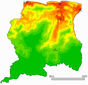
The GeoDMS is also used in land use change models in different countries like Suriname, Honduras, Germany and Bangladesh
Accessibility Modelling
Accessibility is an important driving factor for land use modelling. But modelling accessibility is also relevant in many other (policy) areas.
The GeoDMS can make fast calculations with large networks, for example to calculate:
• the nearest walking distance to services
• origin/destination matrices
• service areas
• expected flow on routes